
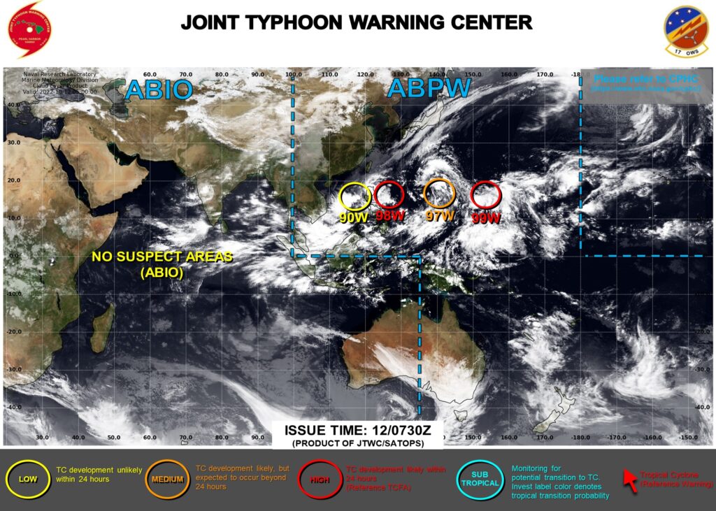
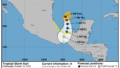
JTWC(米軍合同台風警報センター)の最新情報では太平洋から南シナ海にかけて4つの熱帯低気圧が並んでいる。赤やオレンジ色で表示されている3つは、今後発達して台風19号になる可能性もある。
現時点では、いずれも本州を直撃するようなことはなさそうだが、先島諸島や小笠原諸島は影響を受けるかもしれない。熱帯低気圧の今後の動向に注意が必要だ。

気象庁の天気図にも4つの擾乱(じょうらん)が見えてきた。いずれも海水温が高い海域にあるので発達する可能性は高そうだ。
JTWC update shows four tropical cyclones lined up from the Pacific Ocean to the South China Sea. There is a possibility that the three cyclones displayed in red and orange will develop into Typhoon No. 19 in the future.
None of them seems likely to directly hit Honshu for now, but the Sakishima Islands and the Ogasawara Islands may be affected. It is necessary to pay attention to future moving of tropical cyclones.
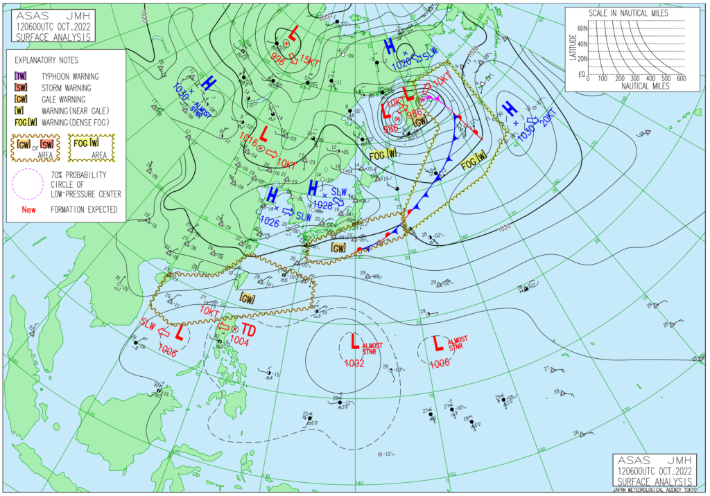
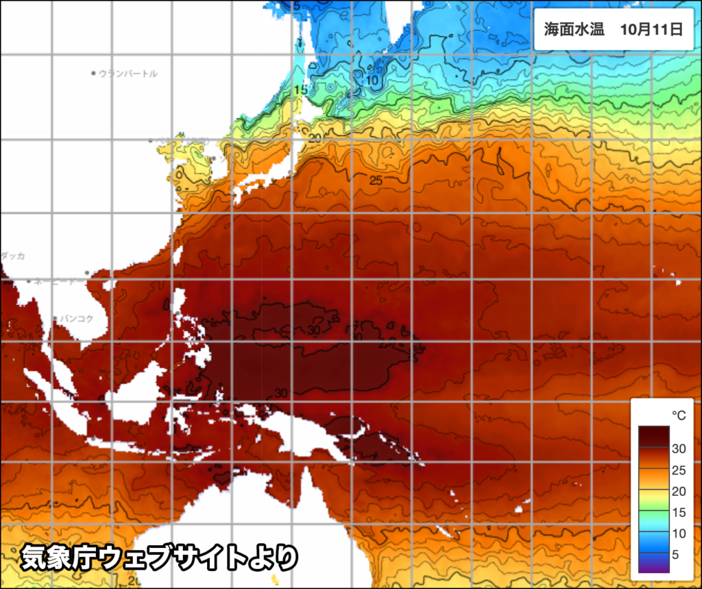
The Japan Meteorological Agency’s weather map also shows four disturbances. Both of them are located in areas with high seawater temperature, so the possibility of development seems high.
コメント