
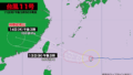
【30日(水)午前0時】
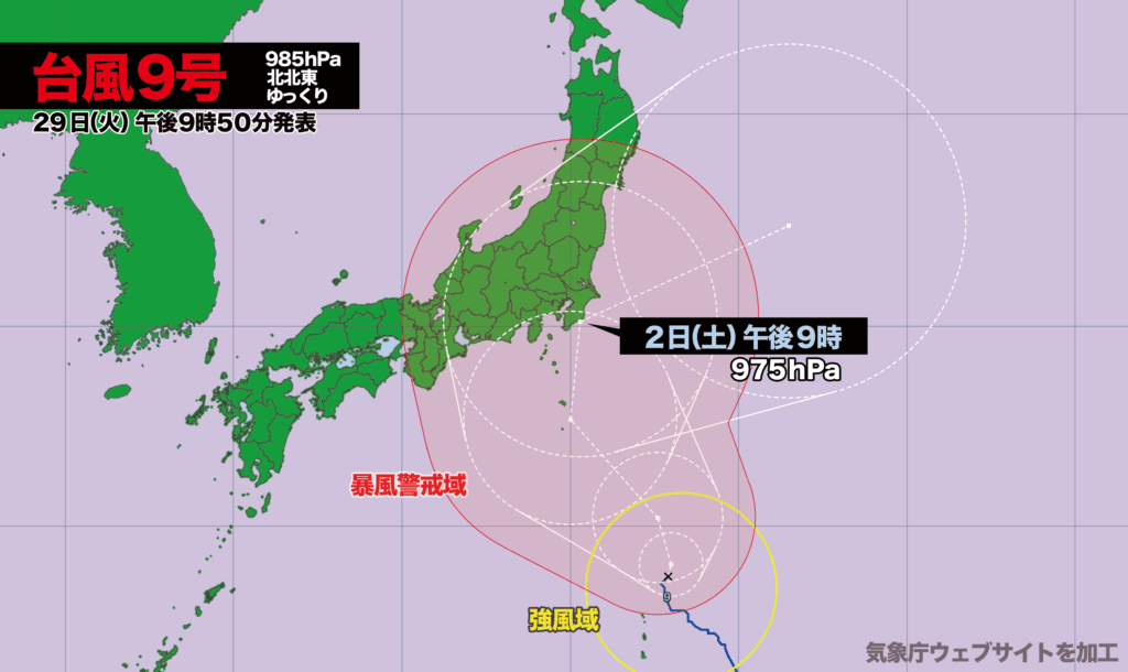
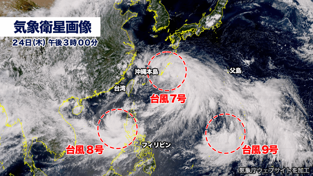
台風9号が父島の北をゆっくり北上しています。中心気圧は985ヘクトパスカル、最大瞬間風速は30メートル。30日(水)には風速25メートル以上の暴風域が発生し、勢力を強めながら北上を続ける見込みです。
予報円の中心を進んだ場合、2日(土)の午後に最も勢力の強い状態で千葉県に接近、その後は東に進路を変える予想です。
ただ現時点では予報円が大きく、進路がはっきりと定まっていません。最も西寄りのルートを進んだ場合、東海地方に上陸する可能性もあります。台風の進路によっては公共の交通機関に影響が出る恐れがあります。各地で早めの対策と備えが必要です。
Typhoon No. 9 Moves North Near Chichijima, May Approach Chiba on Saturday
[00:00, Wednesday, July 30]
Typhoon No. 9 is currently moving slowly northward just north of Chichijima. As of now, it has a central pressure of 985 hectopascals and a maximum instantaneous wind speed of 30 meters per second. On Wednesday, July 30, the typhoon is expected to develop an area of storm-force winds exceeding 25 meters per second as it continues to intensify while tracking northward.
If the typhoon follows the center of the forecast track, it is projected to approach Chiba Prefecture in its most intense state on the afternoon of Saturday, August 2, before turning eastward.
However, the forecast cone remains wide at this stage, and the typhoon’s path is still uncertain. Should it take a more westerly course, there is a possibility of landfall in the Tokai region. Depending on its track, the typhoon may impact public transportation systems.
Residents across the region are urged to begin preparations early and stay alert for further updates.
コメント