【2026年5月29日金曜日午前9時50分】
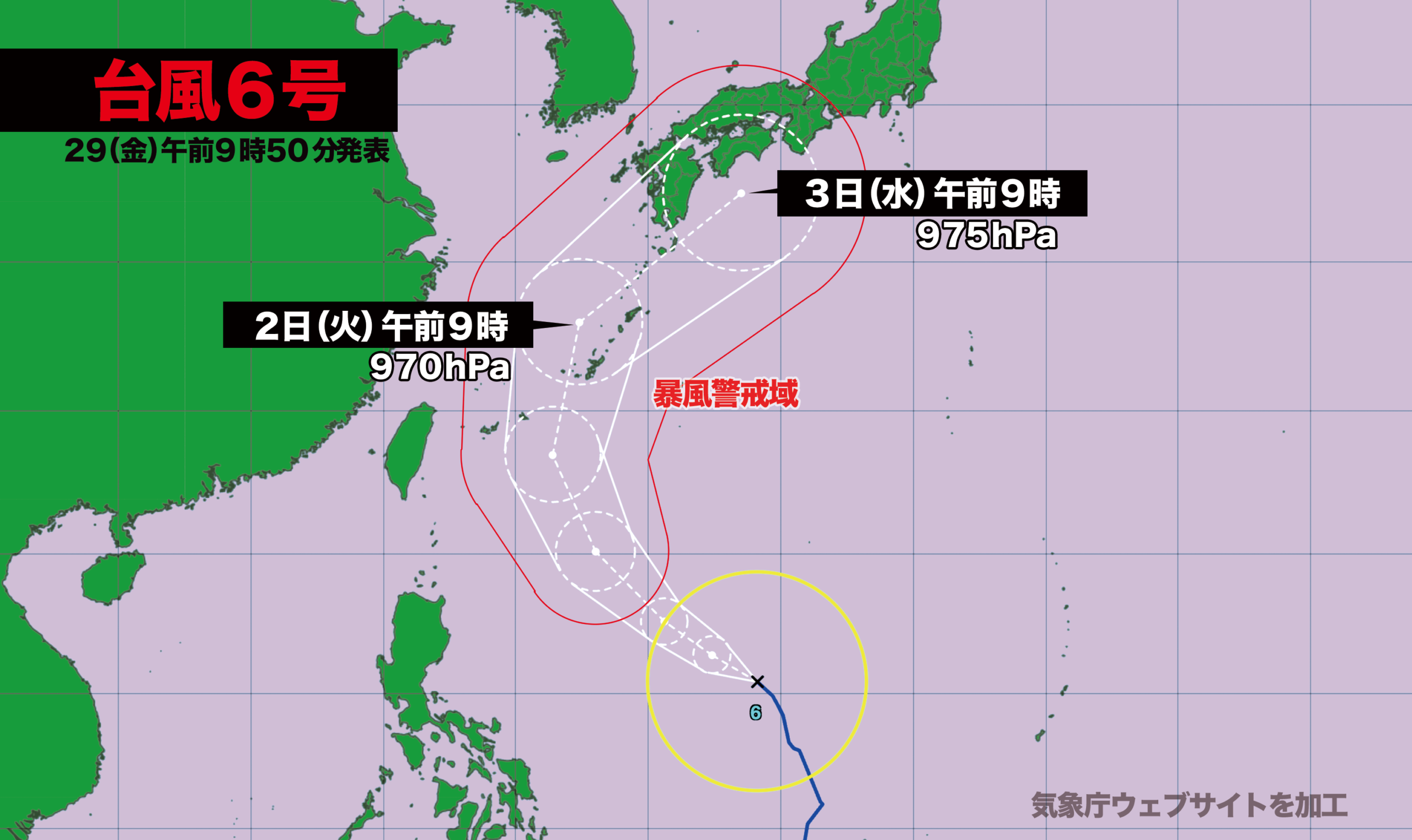
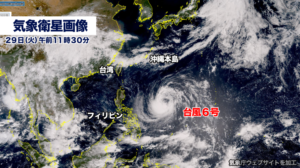
台風6号(チャンミー)はフィリピンの東を発達しながら北上しています。中心気圧は998ヘクトパスカル、最大瞬間風速は25メートル、風速15メートル以上の強風域を伴っています。
31日日曜日には、強い勢力に発達して風速25メートル以上の暴風域が発生する見込みです。
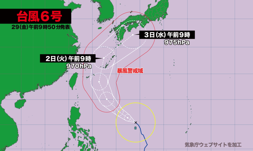
予報円の中心を進んだ場合、6月1日月曜日の夜から2日火曜日の朝にかけて沖縄本島付近を通過、2日の夜は鹿児島県種子島・屋久島付近、3日水曜日朝に四国沖に達する見込みです。
台風6号の接近で、南西諸島から西日本にかけては大荒れ・大しけとなる恐れがあります。警報級の雨や高潮に警戒が必要です。最新の情報を確認して早めの備えをしてください。
Friday, May 29, 2026, 9:50 a.m.
Typhoon No. 6, Chanmi, is moving northward while gaining strength east of the Philippines.
As of the latest observation, the typhoon has a central atmospheric pressure of 998 hectopascals and maximum instantaneous winds of 25 meters per second. It is accompanied by a strong-wind area where sustained winds of at least 15 meters per second are blowing.
By Sunday, May 31, Chanmi is expected to intensify into a strong typhoon, with a storm-force wind area of at least 25 meters per second likely to form around its center.
If the typhoon follows the center of the forecast cone, it is expected to pass near Okinawa’s main island from the night of Monday, June 1, through the morning of Tuesday, June 2. It is then forecast to move near Tanegashima and Yakushima in Kagoshima Prefecture on the night of June 2, before reaching waters south of Shikoku on the morning of Wednesday, June 3.
As Typhoon No. 6 approaches, severe weather and very rough seas are possible across a wide area from the Nansei Islands to western Japan. Residents are urged to remain on alert for warning-level rainfall and storm surges, check the latest information, and make preparations early.
コメント